
地図の歴史
The History of Maps
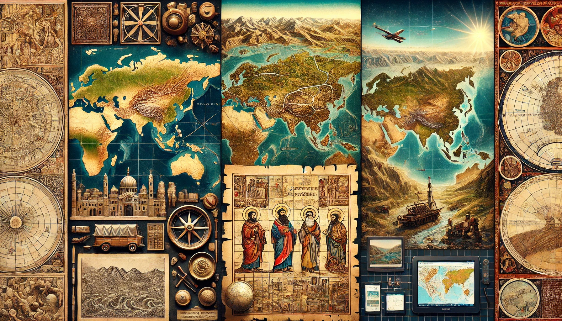
地図は、古代から人々の生活に大きな役割を果たしてきました。最も古い地図の一つは、紀元前2500年頃のメソポタミアで作られた粘土板に描かれています。この地図は川や山、都市の位置を示しており、当時の人々が地形を理解し、記録していたことを示しています。中世ヨーロッパでは、地図は宗教的な影響を強く受けていました。多くの地図には、聖地エルサレムが中心に描かれ、世界の地形は宗教的な考え方に基づいて表現されていました。一方、中国では、実用的な地図が発展しました。中国の地図は農業や交易を支えるために詳細で正確な情報を提供していました。日本では、奈良時代や平安時代に地図が作られ始めましたが、本格的に発展したのは江戸時代です。伊能忠敬は、日本全国を歩いて地形を測量し、精密な日本地図を作成しました。この地図は、後に地理学や交通の発展に大きく貢献しました。現代では、地図は紙だけでなく、デジタル形式でも利用されています。GPS技術や人工衛星のデータを活用した地図は、正確で便利な情報を提供し、旅行や日常生活に欠かせないものとなっています。地図の歴史を知ることで、技術の進歩や人々の暮らしの変化をより深く理解することができます。
Maps have played a major role in people's lives since ancient times. One of the earliest maps was drawn on a clay tablet made in Mesopotamia around 2500 BC. This map shows the locations of rivers, mountains, and cities, indicating that people of that time understood and recorded the topography. In medieval Europe, maps were strongly influenced by religious influences. Many maps depicted Jerusalem, the holy city, as the center of the map, and the topography of the world was represented based on religious ideas. In China, on the other hand, practical maps developed. Chinese maps provided detailed and accurate information to support agriculture and trade. In Japan, maps began to be produced in the Nara and Heian periods, but it was not until the Edo period (1603-1868) that they were fully developed. Ino Tadataka walked all over Japan, surveying the topography and creating precise maps of Japan. These maps later contributed greatly to the development of geography and transportation. Today, maps are used not only on paper but also in digital format, utilizing GPS technology and satellite data to provide accurate and convenient information that has become indispensable for travel and daily life. The history of maps provides a deeper understanding of technological advances and changes in people's lives.
Comprehension Check
Question 1 of 4
最古級の地図として本文が紹介するものはどこで作られましたか?